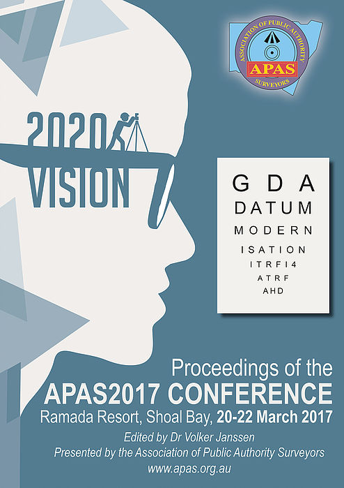
APAS2017 bannerAPAS2017 CONFERENCE

  • Location: Shoal Bay, New South Wales, Australia
  • Date: 20-22 March 2017
  • Theme: "2020 Vision"

Download Conference Report
Janssen, V. (2017) - Azimuth, 56(3), 12-16.

Download Conference Proceedings
(single reduced-size pdf file, 18.6 Mb)

 or

DOWNLOAD BY PAPER

Proceedings of the 22nd Association of Public Authority Surveyors Conference (APAS2017)
Edited by Dr Volker Janssen


Title Page
Front Matter and Table of Contents i-iv
Office Bearers for 2016/2017 1
Editorial 2
GDA2020, AUSGeoid2020 and ATRF: An Introduction
Volker Janssen
3
GDA2020 in NSW
Nicholas Gowans
21
Survey Control and Quality Assurance for Aerial Imagery and Elevation Models across NSW
Lisa Powell
32
Investigating an Anomaly in the Australian Height Datum at the NSW-Victoria Border in Barham/Koondrook
Dean Watkins, Volker Janssen, Alex Woods and Thomas Grinter
48
Performance of AUSGeoid09 in Mountainous Regions
Vittorio Sussanna, Volker Janssen and Peter Gibbings
68
Impact of the Proposed Surveying and Spatial Information Regulation 2017
Simon Hine and Les Gardner
86
Native Title, Compensation and the Public Authority Land Manager
Craig Barnes and Vanessa Field
96
Rural Cadastral Survey of Crown Land for Aboriginal Land Grant under the Aboriginal Land Rights Act
Anthony Oliver
111
Densification of the Greater Sydney Subspine Network for Roads and Maritime Services Western Sydney Infrastructure Plan Projects
Michael Dunn
154
Building a Bridge with a House Slab
Grant Calvin
170
A New Method for Validating Mobile Laser Scanning (MLS) Corridor Surveys
John Nolan and Rod Eckels
184
Archival Recording of a Historically Significant Site Using 3D Laser Scanning Technologies
Michael Finlay, Damien Wagner and Richard Lemon
197
Compensation for Property Improvements in the ACT: A Temporal Perspective
Gregory Ledwidge
214
A Cadastre Set in Stone
Fred de Belin
227
Recent Road Acquisition Surveys in the Unincorporated Area: How do you widen a road that was never surveyed?
Thomas Casey
246
The First Absolute Gravity Observations in Australia and New Zealand
Case Bosloper
247
National ePlan Working Group Update
Chris Wilcox
258
Unlocking the Potential of UAS for Surveying and Mapping
Yincai Zhou and Chris Rizos
259
Deformation Survey of Newcastle Breakwalls using UAV Technology
Matt Greig and Ben Belfield
260
Combining Multi-Source Point Cloud Data
John Reddington
270
Spatial Services Initiatives to Improve the Preservation of Survey Infrastructure
Narelle Underwood
271
City of Sydney Permanent Survey Marks: Historical Context and Management into the Future
Don Urquhart and Greg Livingstone
272
Preservation of Survey Infrastructure at RMS | (download presentation slides)
Armen Dervisevic and Raymond Gilmour
292
Creative Surveying Tools and Gadgets
Charlie Higgs
293